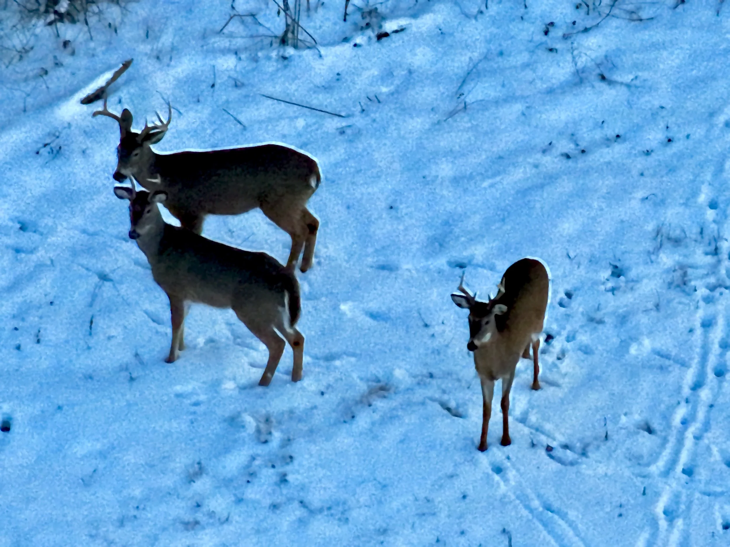
Herd Analysis Services by MOV Drone Workz: Precision, Insight, and Innovation
Welcome to MOV Drone Workz's Herd Analysis Services, where cutting-edge drone technology meets expert wildlife management. Our mission is to provide landowners, hunters, and conservationists with unparalleled insights into deer populations and habitat conditions. Leveraging advanced thermal imaging and precision mapping, our herd analysis service offers a comprehensive overview of your property's wildlife, including detailed counts, health assessments, and behavioral patterns.
At MOV Drone Workz, we understand the importance of accurate data for effective wildlife management. Our state-of-the-art drones capture high-resolution images and thermal data, allowing us to identify and count deer even in dense vegetation. Whether you need a simple population count or a full 2D mapping mission, we tailor our services to meet your specific needs.
Our process is designed to be efficient, accurate, and minimally invasive, ensuring that your property's ecosystem remains undisturbed. By choosing our herd analysis services, you gain access to detailed reports, complete with photos and videos, that can be seamlessly integrated into your existing wildlife management plans.
Special Offer: Book a herd analysis this year and receive $100 off a "Thermal Drone Deer Search" service. Explore the advantages of modern drone technology and elevate your land management practices with MOV Drone Workz. Contact us today to learn how we can help you achieve a healthier, more balanced deer population on your property.
Pricing Structure
Base Fee:
Minimum Charge: $250.00
This covers the initial setup and operational costs, regardless of the property size or complexity of the request.
Per Acre Charge:
Basic Count and Video/Photo Documentation: $2.00 per acre
Advanced Services (including 2D Mapping Missions): $4.00 to $6.00 per acre
Pricing within this range will depend on several factors, including the density of the terrain, specific data collection requirements, and the presence of challenging conditions such as heavy vegetation or difficult terrain.
Service Options
Basic Count with Photos and Video:
This service includes a detailed count of the deer population on the property, accompanied by photos and video documentation. This is ideal for clients looking for a straightforward overview of their property's wildlife.
2D Mapping Missions:
For clients requiring detailed mapping, MOV Drone Workz can conduct 2D mapping missions. This involves creating high-resolution maps, including capturing metadata and photos.
Clients have the option to either have the data processed by MOV Drone Workz or receive the raw data, photos, and metadata to import into their preferred mapping software.
Additional Considerations
Data Processing: Clients can choose whether they want MOV Drone Workz to process the collected data or if they prefer to handle it themselves using their mapping tools.
Service Flexibility: The company can adapt to various project scopes, whether it's a small-scale property or a large, complex terrain.
This pricing structure and service flexibility ensure that clients receive the best possible value for their specific needs, whether for simple wildlife management or more detailed land use planning. As you can see, we offer different levels of service to choose from. Our team can guide you to what’s best for you and your budget. For a free quote, fill out the form below.
Take advantage of our expert consultation and discover the benefits of advanced drone technology for your property. Contact us today to get started and make the most of our special offer!


